When I thought about my first hike in Arizona this past spring, I knew I was prepared for the environment. I had lots of water, sunscreen, and a wide brimmed hat, just like everyone reads about desert hikes. I also knew that it would be comparatively hot as I was coming from Colorado where spring is just a snowier extension of winter, to the Phoenix area where the temperature was in the low 80’s. Hiking in temperatures in the 80’s is not too bad, if you’re used to it but I hadn’t hiked in temperatures that high in months.
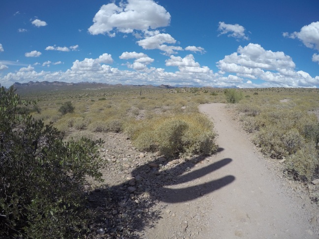
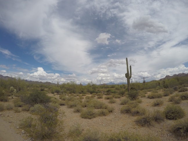
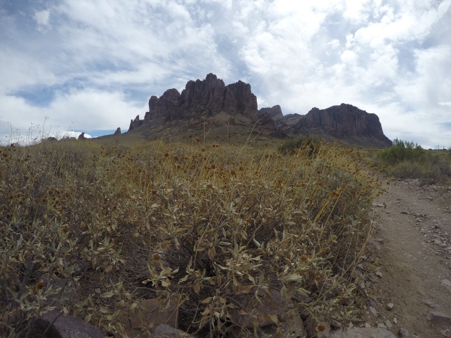
So when I decided to hike in Lost Dutchman State Park near Apache Junction, Arizona, I felt that I was ready for the challenge of a desert hike. What I wasn’t prepared for was how steep the trek would be and, maybe most surprising of all, how high the altitude would be at the top, 4,861′ which is only slightly less than the elevation of my home near Boulder Colorado. I was hiking the Siphon Draw Trail, which didn’t ‘look’ that tough on the map or even when I drove into the park, but I definitely misjudged this one. The first 1/2 or so of the trail is relatively flat with saguaro cacti all around and great views of the Superstition Mountains looming above. After a short while, the trail officially leaves Lost Dutchman State Park proper and enters the Tonto National Forest and the climb really begins from here. About every 30 minutes or so during the hike I could hear a steam whistle from a train that runs through the Goldfield Ghost Town. Normally man-made noises would detract from a hike, but here it added a bit of an old west feel to the area.
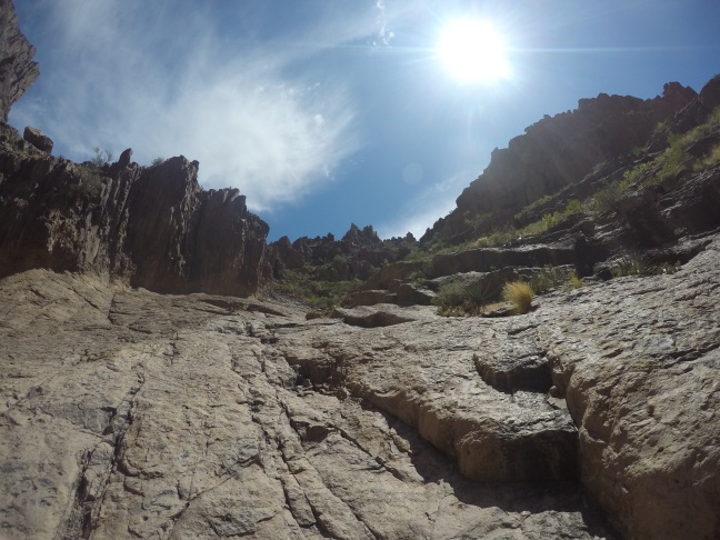
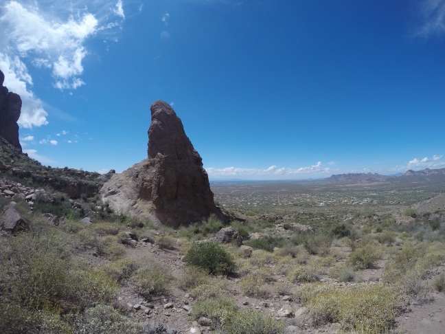
In most places that I’ve hiked steep grades are usually lessened by switchbacks, but there weren’t too many switchbacks on this trail! The Siphon Draw Trail is mainly a vertical trail! I only managed to make it to the area known as ‘The Basin’ and only then realized how tough of a hike this really was. The final mile or so has, according to the park brochure, a 2,000′ elevation gain over the last mile! That would make it the steepest hike I’ve ever done, but today was not the day for me to pull that steep of an ascent off. I may try it again some day and maybe make up that one mile, 2,000′ ascent.